
Our approach
We inspect and report. Nothing else.
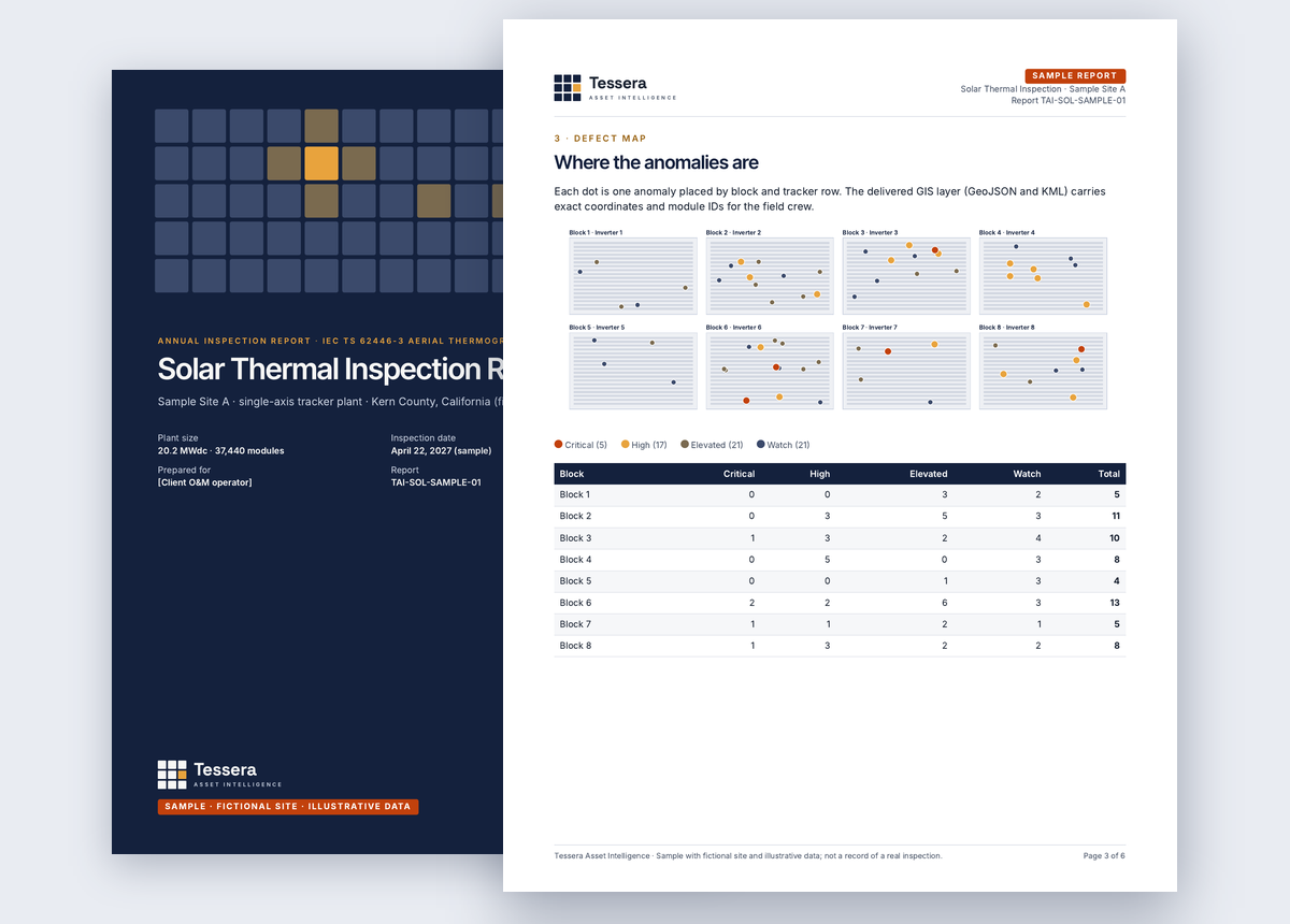
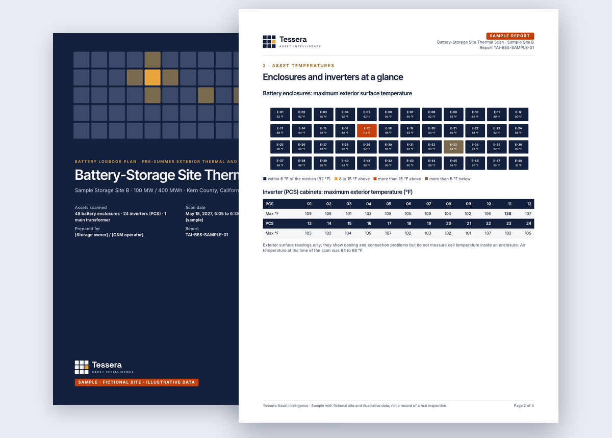
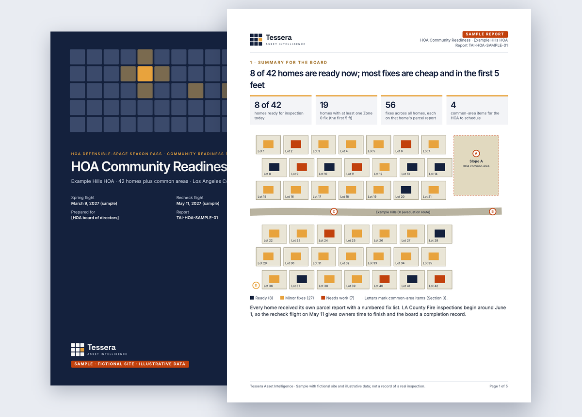
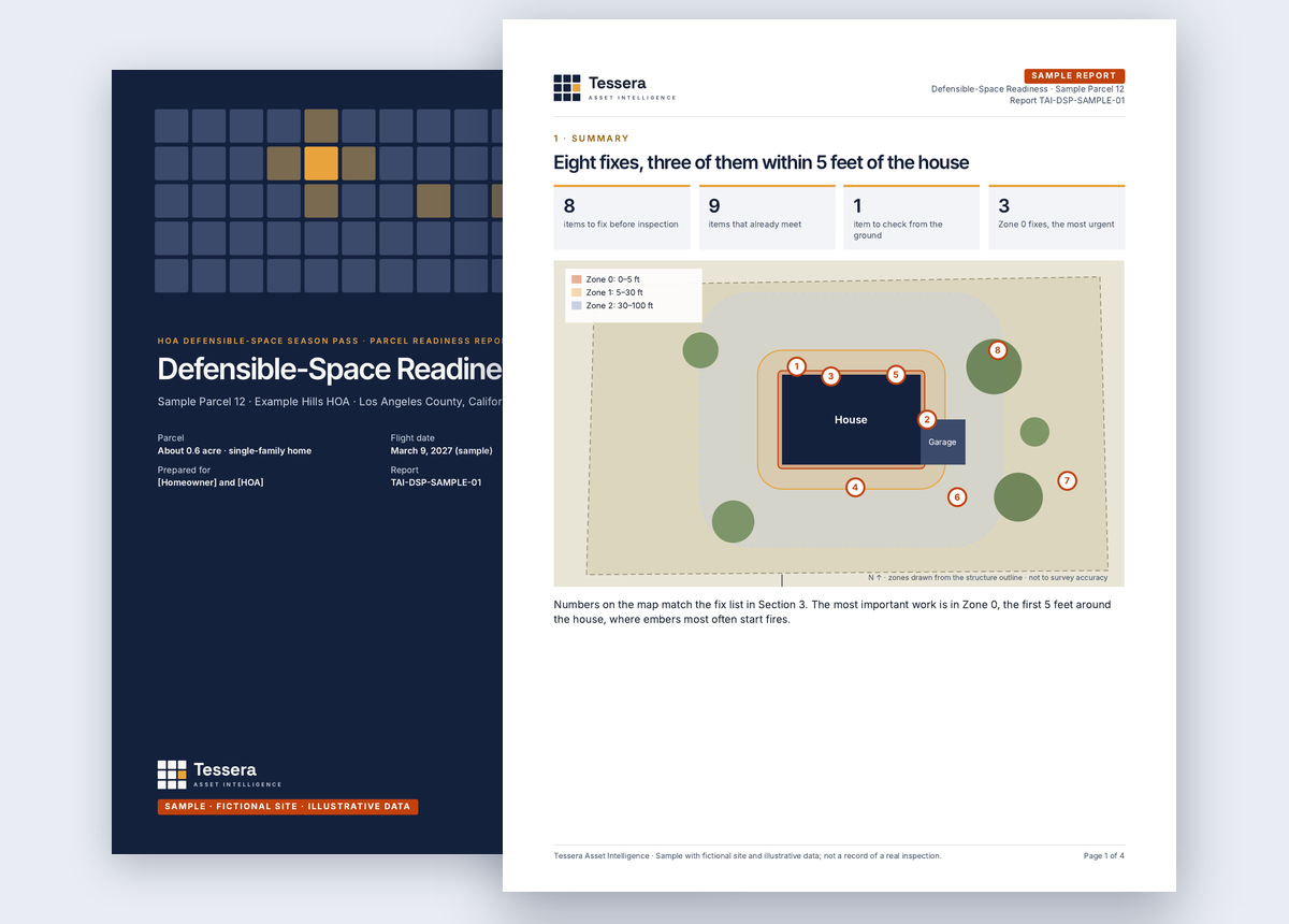
We don't sell repairs, landscaping, panels or equipment, so findings are never shaped to create work. Every finding carries its location, image pair, capture time and reviewer, and every report uses the same method and severity classes, so this year's record lines up with last year's.
Company information
- Company
- Tessera Asset Intelligence
- Founded
- 2026
- Field operations
- Local operators in every service area
- Coverage
- San Luis Obispo County and the Carrizo Plain, Kern County, and Los Angeles, Ventura, Orange, Riverside, San Bernardino and San Diego counties
- Contact
- [email protected]
Traceable
Nothing in a report is a judgment you can't check against the imagery.
Consistent
Same method, severity classes and format every season and every site.
Independent
No repair, product or contractor relationships that bias findings.
Local
Operators based in every area we serve, so rechecks and follow-up flights are scheduled quickly.
Records that hold up. Season after season.
Tell us about the site, community or portfolio. We reply within one business day with questions or a fixed-scope proposal.
Request a proposal